Military & LEO Situational Awareness Application
Mobile / Geospatial / Navigation / Mission Planning
About
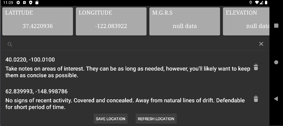
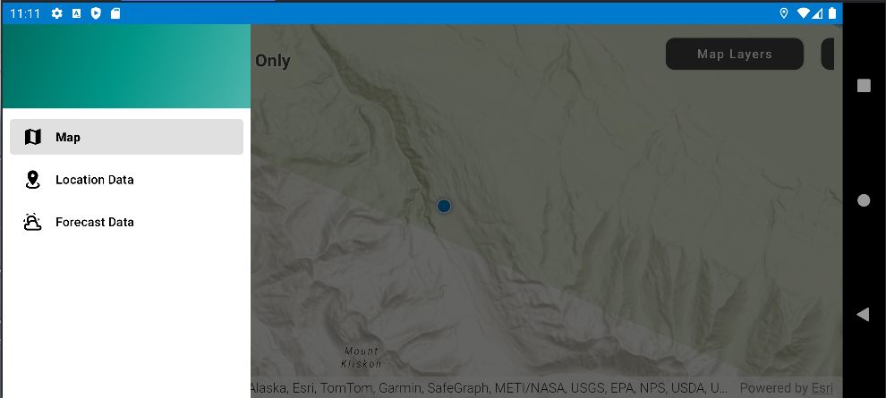
Plan operations, monitor movements, and maintain situational awareness with live location tracking, grid coordinate logging, and route planning for online and offline use. Track weather systems for operational readiness and navigate with a detailed 3D map display. Receive and disseminate orders and enhance in-field communication and decision-making.
Challenge
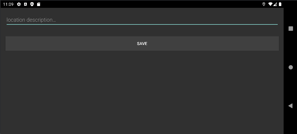
Provide a modernized tool that enables operators to share and track mission essential information that enables them to work effectively in complex environments.
Solution
Provide real-time multi-user geospatial data, enabling teams to understand their environment and coordinate effectively.